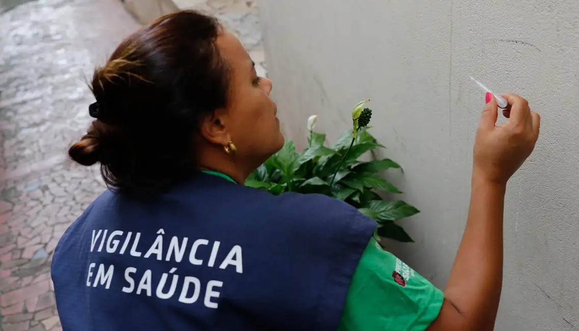
By identifying high-risk areas for dengue, the methodology can make the work done by community health workers more precise and effective (photo: Fernando Frazão/Agência Brasil)
Published on 02/26/2024
By Julia Moióli | Agência FAPESP – Every southern hemisphere summer, Brazil’s community health workers intensify their routine of home visits to look for breeding grounds of Aedes aegypti, the mosquito that transmits dengue, yellow fever, and other infectious diseases. To help make their work even more precise and effective, researchers at the University of São Paulo (USP) and the Federal University of Minas Gerais (UFMG) in Brazil, collaborating with colleagues at the University of Sheffield in the United Kingdom, have developed a computational model that predicts high-risk urban areas for infestation by A. aegypti on the basis of photographs of building facades.
The results of the project, which was funded by FAPESP, are reported in an article posted on medRxiv as a preprint and not yet peer-reviewed.
According to the Health Ministry, more than 920,000 probable cases of dengue have been notified so far this year, some 180 deaths have been confirmed, and over 600 deaths are under investigation. Typical symptoms of the disease include fever, headache, aching joints and muscles, pain behind the eyes, and maculopapular rash. Severe cases may also entail shortness of breath, intense bleeding, complications in various organs, and even death.
Three states (Acre, Minas Gerais and Goiás), as well as the Federal District and Rio de Janeiro city, have declared a state of emergency in public health because of the dengue outbreak, which is hard to control owing to several factors, such as a shortage of vaccines and the difficulty of combating A. aegypti effectively, as shown by many scientific studies.
The novel approach proposed by the group, which is also supported by Instituto Serrapilheira, uses the premise condition index (PCI) to identify buildings, yards and street blocks with a high risk of harboring mosquito breeding grounds, based on an analysis of the state of the properties concerned. It focuses on images of house facades to speed up the identification process. The images can be culled from Google Maps, Google Street View and OpenStreetMap. Artificial intelligence is then used to classify the properties’ conditions without needing to visit them. This method of predicting PCI based on street-level images of facades is named PCINet in the article.
To test the efficacy of the model, the group visited buildings in 200 blocks of Campinas, a large city in São Paulo State, to measure the three traditional PCI components (state of the building, yard conditions and shading). They also evaluated and photographed the facades. They trained a deep learning neural network based on PCINet to predict the conditions of the facades using photographs alone. These conditions correlated highly with the building and yard conditions, and reasonably well with the amount of shading.
“The use of street-level images such as those supplied by Google Street View or OpenStreetMap, in conjunction with PCINet, could help optimize surveillance and monitoring of A. aegypti by reducing the number of in-person house calls to identify high-risk buildings, blocks and neighborhoods for arboviruses such as dengue, and directing control activities to the areas identified by analysis of the images,” said Francisco Chiaravalloti Neto, last author of the article, professor of epidemiology at the School of Public Health (FSP-USP), and head of its Laboratory for Spatial Analysis for Health (LAES).
Targeted actions
Next steps in a future project will include validation of the technique in cities of different sizes and with varying characteristics, such as Campinas and four others in São Paulo state (Indaiatuba, Santa Bárbara do Oeste, Ribeirão Preto and São José do Rio Preto). Once it has been validated, the methodology can be applied anywhere in Brazil or elsewhere.
The group believes it will enable city governments to identify the areas most likely to contain breeding grounds for arbovirus vectors. According to Chiaravalloti, the goal is to help health surveillance workers combat dengue, zika and chikungunya in a more targeted manner by focusing on high-risk areas.
Researchers affiliated with the Campinas Epidemiological Surveillance Group, the Institute of Energy and Environment (IEE-USP), the São Paulo Pasteur Institute and the University of Stirling (UK) also took part in the study.
The article “Automatic mapping of high-risk urban areas for Aedes aegypti infestation based on building facade image analysis” is at: www.medrxiv.org/content/10.1101/2023.11.30.23298876v1.
Source: https://agencia.fapesp.br/50933
