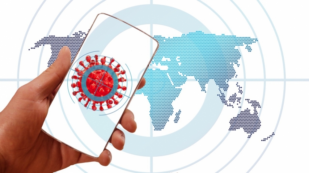


The platform developed by researchers from Brazil and Chile lets users view geolocation of cases, deaths and vaccinations over time (image: Gerd Altmann/Pixabay)
Published on 04/07/2021
By Elton Alisson | Agência FAPESP – Researchers at the University of São Paulo (USP) and the University of Chile have developed an online georeferencing tool that facilitates the surveillance of infectious disease outbreaks such as the COVID-19 pandemic, enabling the user to visualize the spread of cases, deaths and vaccinations. The main aim is to help health authorities track contagion and vaccine distribution at different levels of resolution, from regions and countries to cities and even neighborhoods, streets, and residential buildings.
Developed with support from FAPESP, Outbreak is available free of charge and is described on the preprint platform arXiv in an article that has not yet been peer-reviewed.
“The tool was created to facilitate the viewing of epidemiological data by decision-makers and healthcare managers, helping them dynamically identify changes in the evolution of an outbreak, such as a rise in the number of people infected in a region. It helps track outbreaks in real time, and make decisions to minimize their effects,” Helder Nakaya, principal investigator for the project and vice director of the university’s School of Pharmaceutical Sciences (FCF-USP), told Agência FAPESP.
Nakaya is one of the principal investigators at the Center for Research on Inflammatory Diseases (CRID), a Research, Innovation and Dissemination Center (RIDC) funded by FAPESP.
According to Nakaya, several web-based dashboards display COVID-19 surveillance datasets, including those offered by Harvard University, Johns Hopkins University and the University of Virginia in the US), and the World Health Organization (WHO), among others. Although most use open-source data, they run on proprietary platforms, which are often expensive and hard to build, he noted. Moreover, they require specific knowledge of certain computer programs and do not let users input data.
Outbreak is designed to surmount these obstacles by allowing even non-specialists to input data in a user-friendly manner. “Any datasets, such as those provided by WHO, the Ministry of Health and state health authorities, or those collected by primary health clinics [UBSs in Brazil], can be uploaded to the website and visualized dynamically in the form of maps and animations, with graphical representations of timelines and geolocation of cases, deaths or vaccinations, for example,” Nakaya said.
Text and video tutorials are available on the website with detailed instructions for use of the tool. Data must be uploaded in tab-delimited text files or Excel spreadsheets with fixed columns for geographical coordinates (latitude and longitude) and dates, as well as optional columns for COVID-19 cases and deaths, for example.
Decision-makers and epidemiologists can explore the geographical evolution of cases over time and classify cases by ethnicity, gender and age, among other criteria. To make the datasets graphically clear for exploration, the tool enables users to apply different colors to each variable of interest and zoom in on specific areas, streets or buildings.
“A primacy health clinic or UBS manager can input a spreadsheet with addresses of people who have been diagnosed with COVID-19 or vaccinated in that specific health district. They can see where new cases are appearing most, track gaps in vaccination, or send out health workers to intervene locally,” Nakaya said.
Digital epidemiology
Outbreak has many potential applications. It can also be used for population and animal migration studies. It is part of the toolkit developed by researchers at FCF-USP’s Computational Systems Biology Laboratory (CSBL), which Nakaya heads, to open up a new area of research called digital epidemiology, in which digital technology is deployed to analyze factors that determine disease case frequency and distribution.
Researchers at CSBL used cell phone location logs to analyze mobility patterns during the COVID-19 pandemic in Brazil and elsewhere and to monitor social distancing in real time.
“The data is provided voluntarily by the owners of cell phones and lets us correlate mobility with disease transmissibility,” Nakaya said.
More recently, two PhD candidates conducted a project at CSBL in which they analyzed the most frequently Googled search terms at the start of the pandemic in Brazil, and during the second and third waves. The results (not yet published) show that in March 2020, at the start of the pandemic in Brazil, the top-ranking search terms had to do with home activities such as cooking, sewing, learning languages, or learning to play a musical instrument. Subjects like these became less frequent as the pandemic wore on.
“When the first deaths from COVID-19 were reported in Brazil, people began searching for things to do at home, but in the second and third wave of cases, interest in home leisure activities diminished as a lot more people went back on to the streets,” Nakaya said.
The number of cars passing through highway toll gates was also analyzed. The results showed a sharp fall in vehicle traffic at the start of the pandemic, followed by a return to previous volumes after a time.
“We envisage these datasets obtained by means of digital technologies being translated by health authorities into action to control the epidemic,” Nakaya said.
The article “OUTBREAK: a user-friendly georeferencing online tool for disease surveillance” by Raúl Arias-Carrasco, Jeevan Giddaluru, Lucas E. Cardozo, Felipe Martins, Vinicius Maracaja-Coutinho and Helder I. Nakaya can be read at: arxiv.org/abs/2004.10490.
Source: https://agencia.fapesp.br/35568